EDGE · Section 1 of 3 Ecological Assessment
This section gathers the entries about finding out what is on the ground: field methods, the seasons they depend on, and the reports that carry the findings into a review.
5 entries in this section. Last revision 16/09/2026.
Written and edited by The Sedge and Granite editorial team. Corrections and additions: contact@eannpoole.com.
Where you are across the transect; this section walks the whole line.
Who decides here the party that commissioned the work, before any reviewer sees it. The cursor is drawn in dashes because the position depends on the delineated boundary, not on the map.
Section register
State at 16/09/2026
- EDGEWhere to start reading
- Read the entry
- no reviewing authority; the order of reading is yours
- 16/09/2026
Wide register: scroll horizontally.
All entries
5 entries
- Where the three sections lead EDGE · hub
-
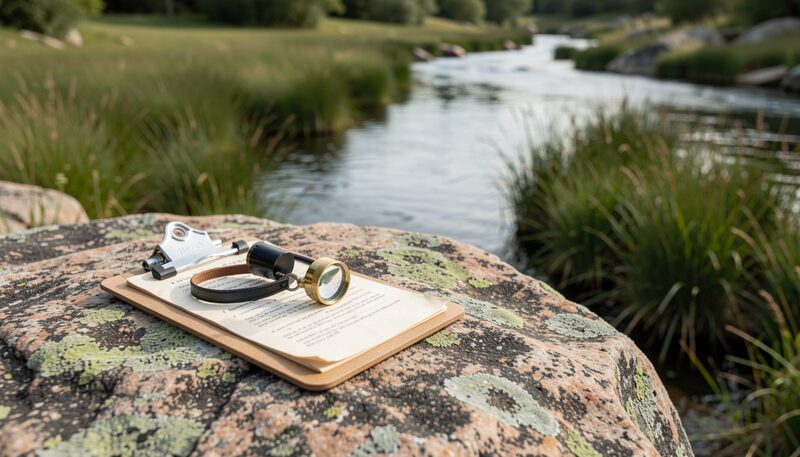
Clipboard and hand lens on granite · stream bank in mixed forest, New Hampshire A plain-language starting point on ecological assessment and environmental planning for northern New England landowners, boards and land trusts.
- Where to start reading EDGE · hub
-
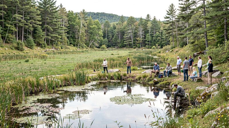
Shoreline walk, pond edge · open water and sedge meadow, New Hampshire A short reading map of the reference, suggesting an order through assessment, planning and management pages for first-time visitors.
- What an ecological assessment covers EDGE · article
-

Field notes taken beside standing water · wet meadow edge, New Hampshire An explanation of what an ecological assessment examines, from soils and vegetation to wildlife habitat and wetlands, in northern New England.
- Field methods used in ecological assessment UPLAND · article
-
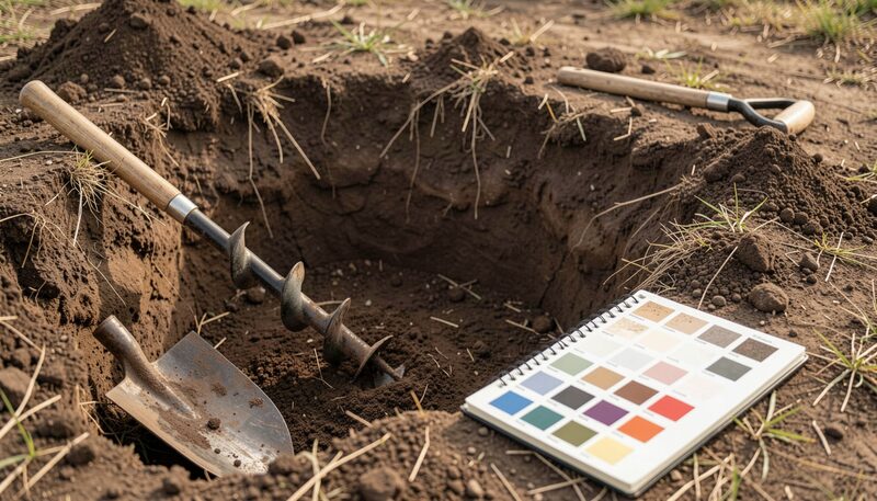
Soil pit and auger beside a spade · open upland, New Hampshire Common field methods in ecological assessment, including soils pits, vegetation plots, wildlife signs and seasonal timing.
- What an assessment report contains EDGE · article
-

Open report and a rolled plan sheet · desk surface, northern New England The typical contents of an ecological assessment report, from methods and mapping to constraints and recommended next steps.


- EDGEWhat triggers review
- A question about what is on the ground and how it is recorded
- Applicant
- EDGEWho decides
- The party that commissioned the work, before any reviewer sees it.
- Named body
- EDGEWhat the agency page does not state
- A section page can order its entries. It cannot say which one your reviewer will ask about first.
- Not stated